
An upcoming overhaul of the federal government’s flood insurance program will financially benefit many of the nation’s lowest-income communities by cutting premiums for a large share of their residents, an E&E News analysis of government data shows.
But the restructuring will be costly for some affluent coastal communities as the National Flood Insurance Program starts charging higher rates for houses that are expensive to replace or are vulnerable to rising sea levels and intensifying storm surge.
E&E News’ analysis of newly released government data provides the most detailed insight yet into the impact of an unprecedented restructuring that will make premiums in the nation’s main flood insurance program reflect more accurately the risk facing 5 million properties.
The restructuring, called Risk Rating 2.0, is raising concerns among some members of Congress that flood insurance will become too expensive for millions of people when the new rates take effect, starting in April. Environmental advocates say the new premium structure will deter risky development in flood zones.
Under pressure from lawmakers, the Federal Emergency Management Agency recently released data showing the number of policyholders in every ZIP code who will face rate increases and the number who will see their rates decrease.
The records show rate changes in only the first year of Risk Rating 2.0—a limitation that has prompted criticism of FEMA, which runs the insurance program. Some policyholders will face annual increases for years as FEMA gradually hikes premiums until they reflect a property’s flood risk.
E&E News combined the FEMA records with Census Bureau data and found that households in the lowest-income ZIP codes are more than twice as likely to see insurance premiums drop than those in high-income ZIP codes.
In ZIP codes where the median household income is less than $27,000, nearly 43% of the insurance policyholders will see their rates decrease next year, E&E News found. The decreases will range from a few dollars to more than $1,000.
In ZIP codes where the median household income is more than $100,000, just 20% of the policyholders will see rate decreases.
Many of the low-income ZIP codes are in areas with low housing-replacement costs such as Puerto Rico, Kentucky and West Virginia.
The high-income ZIP codes are often in states with high housing costs such as California, New Jersey and New York.
E&E News’ analysis found no significant racial or ethnic impact.
In ZIP codes where a majority of the population is a racial or ethnic minority, 22.4% of the premiums will decrease.
In ZIP codes where at least 95% of the population is non-Hispanic White, 24.5% of the premiums will decrease.
Risk Rating 2.0 marks the biggest change in the NFIP since the program was created in 1968. It could reshape development patterns across the United States by making it more expensive to insure property in high-risk flood zones.
Nationwide, 23% of the 5 million NFIP policyholders will see their rates decrease. Another 66%—or 3.3 million households—face rate increases of no more than $120 next year. For the remaining 11%, rates will increase by more than $120.
E&E News’ analysis supports FEMA’s statements that Risk Rating 2.0 will improve economic equity and undo a system that for years has charged people in low-income communities too much for flood insurance while policyholders in affluent areas paid too little.
“FEMA is fixing longstanding inequities in the NFIP’s flood insurance pricing,” David Maurstad, the FEMA official in charge of the flood program, said in a statement to E&E News in response to its findings. “Currently policyholders with lower-valued homes are paying more than their share of the risk while policyholders with higher-valued homes are paying less than their share of the risk.”
With Risk Rating 2.0, the NFIP “is better equipped for the reality of frequent flooding caused by climate change,” Maurstad added.
E&E News’ analysis does not mollify critics such as Sen. Bob Menendez (D-N.J.), who issued a statement after FEMA released its data saying that Risk Rating 2.0 “will cause an enormous rate shock” that will force some people to sell their homes.
A Menendez spokesman noted to E&E News that 79% of the NFIP policyholders in New Jersey face rate increases—one of the highest percentages of any state—and that the full effect of Risk Rating 2.0 remains unclear because FEMA has not released risk ratings for individual properties.
The spokesman added that it’s unknown which households within a ZIP code will see rate decreases or increases. That makes it impossible to assess any equity effect because household incomes vary within a ZIP code.
“You’re not seeing who within those communities are seeing the decreases,” the Menendez spokesman said. “They’ve given us incomplete data to get the full picture.”
The nation’s 33,000 residential ZIP codes have an average of roughly 4,300 homes.
Risk Rating 2.0 was not established with a goal of helping low-income communities. It was not designed as the type of equity program that President Biden has embraced to address climate change. FEMA announced Risk Rating 2.0 under President Trump.
But Risk Rating 2.0 will result in more equitable insurance rates as FEMA recalibrates the flood risk for every property it insures using technology to create a more refined analysis.
FEMA traditionally has assessed flood risk using crude methods that put large numbers of properties in the same risk category. Today, an oceanside mansion has the same insurance rate as a bungalow 400 yards inland even if their actual flood risks and replacement costs are different.
“Everyone in the zone was priced the same regardless of how expensive the property was and how close it is to the water source,” said Jeremy Porter, head of research and development at the First Street Foundation, a nonprofit that has created high-resolution flood maps for the entire United States.
Risk Rating 2.0 creates a more detailed picture by including a range of new factors such as the precise location of a house and the cost of replacing it.
The result is that insurance rates generally will increase for properties on the coast, where the flood risk, property values and income levels are typically highest. Rates generally will go down for inland areas that have lower flood risk, property values and income levels.
“The greatest increases are most likely where you have the high-income ZIP codes because they’re closer to the water,” said former FEMA Administrator Craig Fugate, who launched the program that became Risk Rating 2.0.
When Fugate ran FEMA, from 2009 to 2017, he said, “we saw that rates for inland residents tended to be higher to offset the rates for coastal residents. Inland residents were subsidizing coastal residents.”
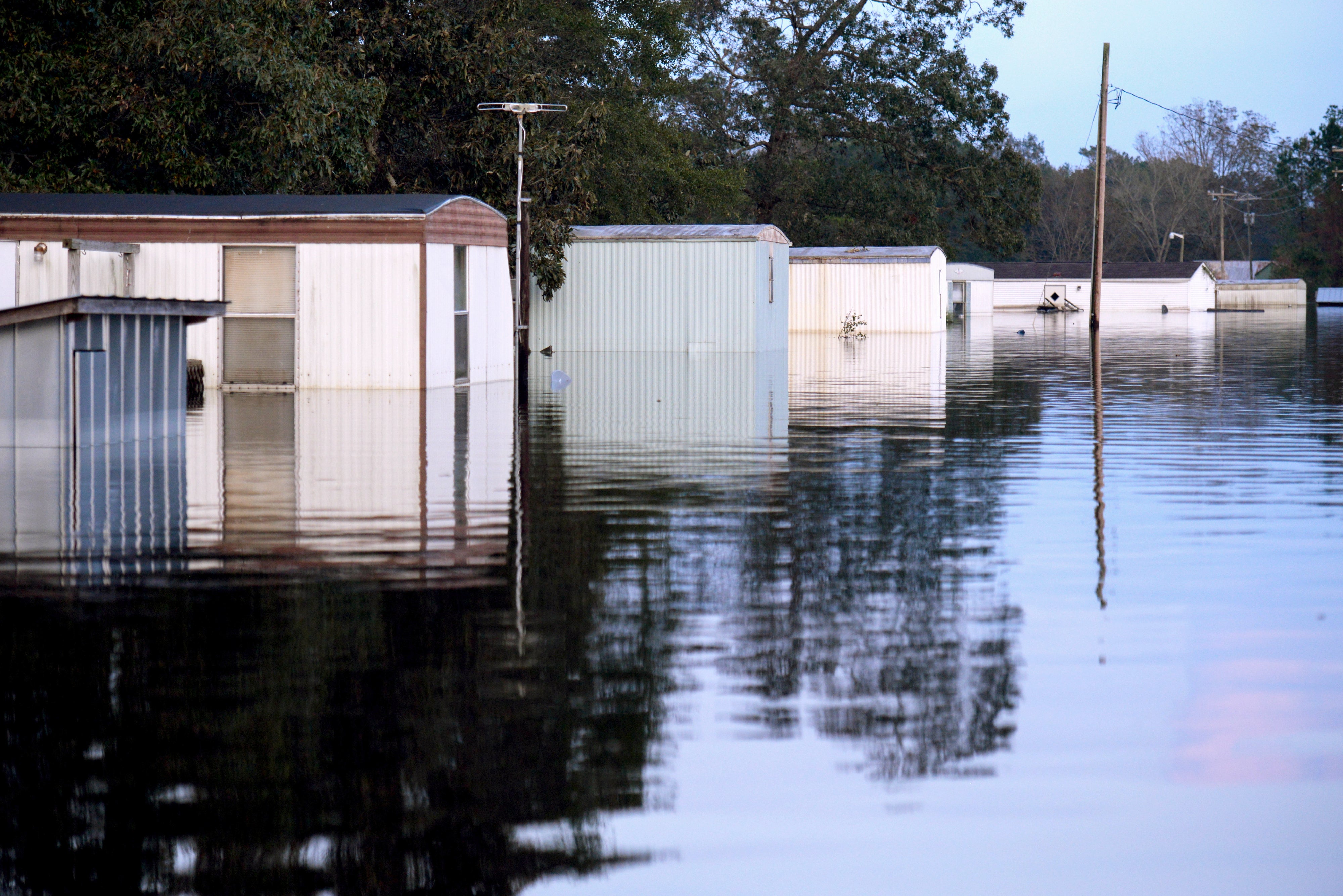
One winner under Risk Rating 2.0 is the Mid City North neighborhood of Baton Rouge, La. It’s a frequently flooded low-income area next to an oil refinery along the Mississippi River.
In the two ZIP codes that make up Mid City North, 73% of the 2,320 households with flood insurance will see their premiums decrease, FEMA records show. Nearly 20% of the premiums will decrease by more than $1,200 a year.
The average median household income in the Mid City North ZIP codes is $25,554—far below the national average of $68,703.
The effects of Risk Rating 2.0 are varied. Some affluent communities will see widespread premium cuts and some low-income communities will see widespread increases.
“There are winners and losers in every one of these zones. It isn’t that all low-income areas will see a generalized reduction,” Fugate said.
In Potomac, Md., along the Potomac River near Washington, 79% of the 240 NFIP premiums will go down. Potomac’s median household income is $213,724.
In Chappaqua, N.Y., near the Hudson River north of New York City, 65% of the 110 NFIP premiums will go down. Chappaqua’s median household income is so high that the Census Bureau says only that it is more than $250,000.
But in a low-lying section of Plaquemines Parish in the marshes of southeastern Louisiana, insurance rates will go up for 687 of the 695 policyholders. Median household income in the neighborhood is $35,281.
“You’re going to see a lot of pushback from coastal property owners,” said Porter of First Street.
Reprinted from E&E News with permission from POLITICO, LLC. Copyright 2021. E&E News provides essential news for energy and environment professionals.